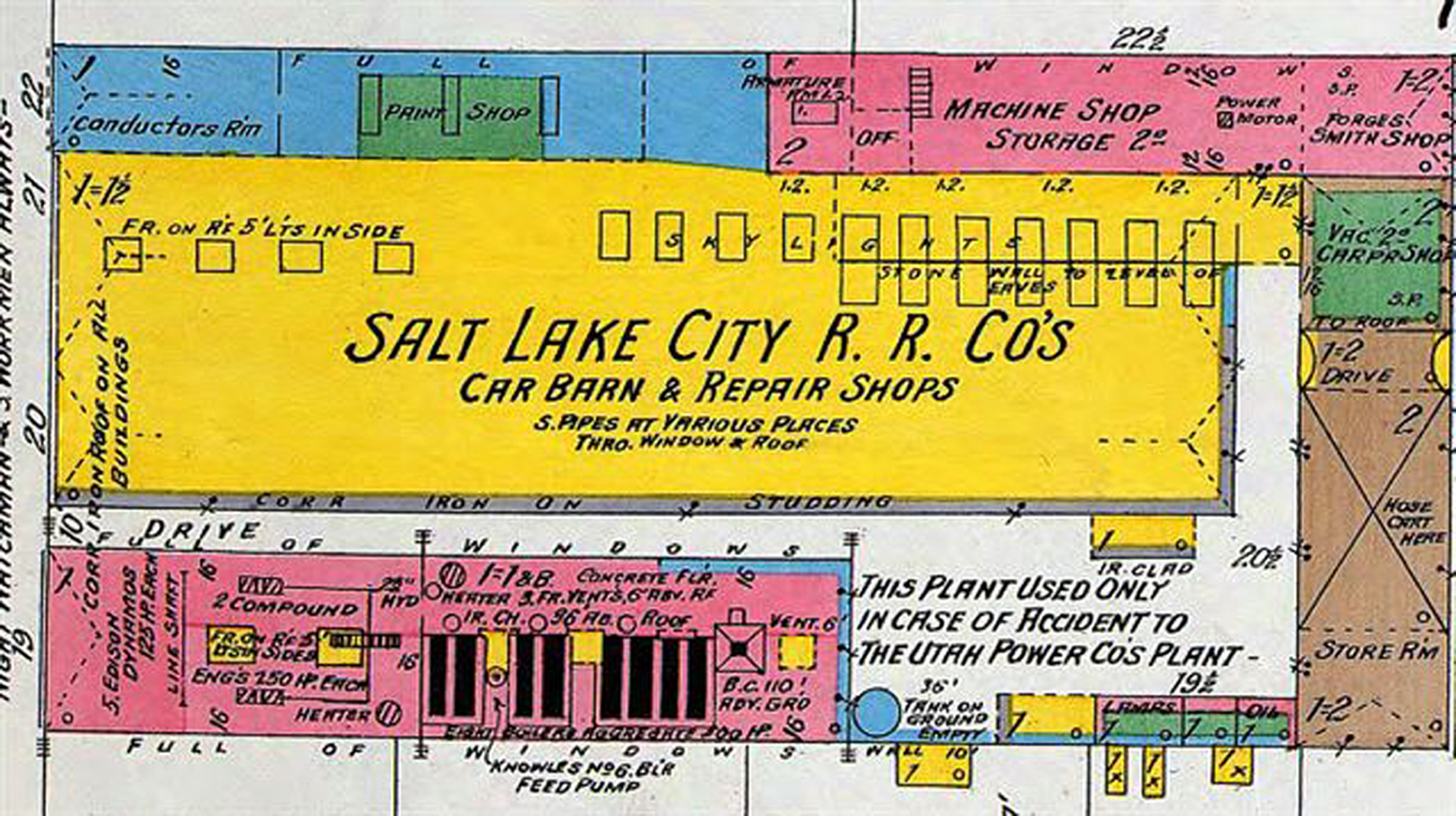
May 9, 2011 — Those seeking historic records of commercial and residential development across Utah can now access them easily online through the digital collection of Sanborn Insurance Maps at the University of Utah’s J. Willard Marriott Library.
The library has completed digitization of Utah’s maps created by the D.A. Sanborn Co., the first company to provide fire insurance maps nationally. The fully searchable digital collection contains maps of Salt Lake City and Ogden created between 1884 and 1950; Logan maps from the years 1885, 1890, 1900, 1930, 1955; and all other Utah maps up until 1922.
Developers, environmental engineers, architects, attorneys and students still use these maps when studying sites for development, as they indicate potential environmental and health issues based on past use. In the past, they would have to make a trip to the library’s special collections department and physically search for the map they needed. Now, they can quickly search the entire collection online.
The maps show information about building use and incredible details, such as existing fire walls, windows and doors, elevators, composition of roofs, wall thickness and cracks in exterior walls. They also indicate sidewalk and street widths, property boundaries, location of water mains, hydrants, piping, wells, cisterns and fuel storage tanks.
“These maps show a variety of structures, building materials and uses,” explains Walter Jones, head of Western Americana in the library’s special collections department. “They make historic Utah come alive in color and they are useful to both the historian and business person alike.” The maps were designed by surveyor D.A. Sanborn in 1866 to assist fire insurance agents in determining the degree of hazard associated with a particular property. The company’s surveyors documented structural information — such as size, shape, construction materials and function — of all privately-owned dwellings, commercial buildings and factories.
Color-coding of building materials makes all of the maps easy to understand at a glance. Until 1911, the maps were handmade and hand-colored. Subsequently, corrections and amendments were pasted on top every few years.
“For years people have come to the Marriott Library seeking these wonderful maps,” explains John Herbert, head of digital technologies, “But now they can simply go online to find all of the map detail they need.” The full collection of maps can be accessed at http://tinyurl.com/DigitalUtahMaps. The public also is encouraged to visit the Marriott Library’s special collections on the fourth floor to see the original maps.
